SAFARI KENYA EXPLORER · DESK RESEARCH · UPDATED 11 NOVEMBER 2026
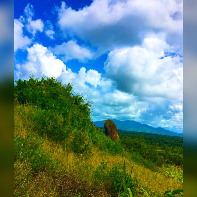
Kirinyaga is best explored through its distinct mountain-foot and river landscapes, not a rushed attractions checklist. The county is associated with agricultural communities, Mount Kenya approaches and parts of the Sagana recreation corridor.
Begin in the Kerugoya–Kutus area
Use towns in Kirinyaga to orient yourself, access food and plan onward trips. A good half-day can focus on permitted countryside viewpoints and a local meal, but farms and irrigation channels are working landscapes. Ask permission before walking on private fields or photographing residents.
Choose a Mount Kenya foothills outing
Mountain routes require checked gate information, qualified guidance where applicable and changing-weather preparedness. The official KWS parks directory links to Mount Kenya visitor guidance. Do not describe every forest road as a public hiking trail or promise clear summit views.
Sagana: check the exact county and operator
The Sagana River recreation corridor extends across administrative boundaries. Depending on the operator, a white-water rafting or campsite experience may be associated with Murang’a or Kirinyaga. Check the actual meeting address, licensed activity operator and river conditions before putting the booking into your Kirinyaga itinerary. Our Sagana Rapids Camp guide is a useful starting point.
River adventures require specialist safety controls
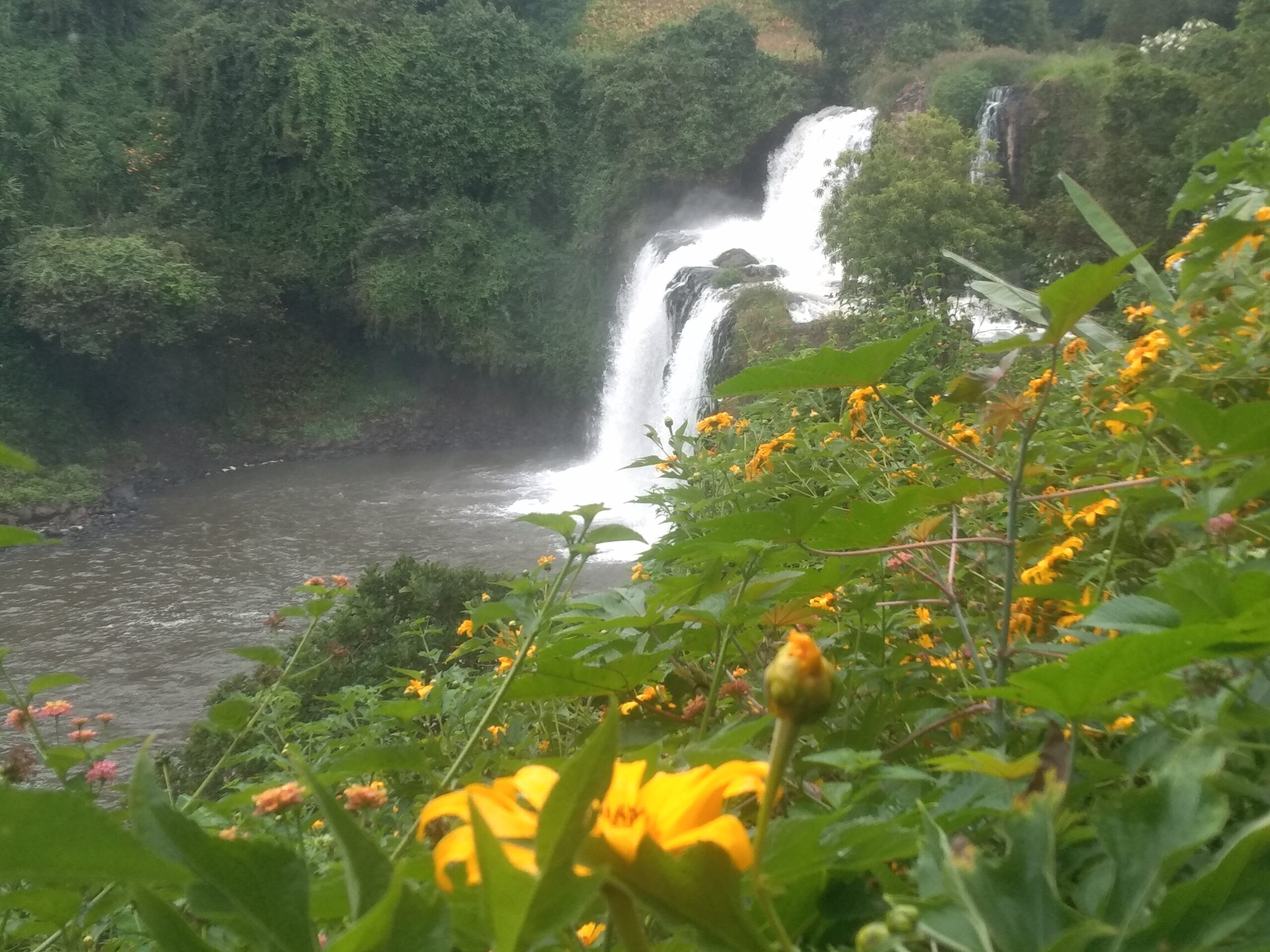
Rafting, kayaking and swimming should never be inferred to be safe from a beautiful river photograph. Book properly equipped instructors, check flood forecasts and ask how rescue procedures work. Visitors who prefer a calmer day can choose lawful lookouts and a town meal rather than entering the water.
One or two days in Kirinyaga
A first-day plan can focus on Kerugoya or Kutus and mountain foothill scenery. A second day can be dedicated to a confirmed Sagana operator. Do not add Mwea National Reserve automatically: KWS identifies a joint management history involving Embu, and its gate locations should be checked independently. Relevant official sources: KWS Mwea guide.
Find these places on a map
These location links help you orient yourself. Verify the specific gate, activity operator, access rules and travel time before leaving.
- Kerugoya, Kirinyaga County, Kenya — open map
- Kutus, Kirinyaga County, Kenya — open map
- Sagana, Kenya — open map
Editorial note: This article is desk research, not an account of a first-hand visit. The date and entry rules for specific attractions are subject to change. Confirm current access, prices and transport directly with the relevant venue or operator before your visit.